Istanbul's Duplicate Image Crisis: Key Decisions Ahead for the City's Visual Archive
Municipal authorities and heritage bodies face a reckoning over how to clean up, verify, and future-proof Istanbul's sprawling digital image records.
Municipal authorities and heritage bodies face a reckoning over how to clean up, verify, and future-proof Istanbul's sprawling digital image records.
Istanbul's municipal digital archive — spanning everything from Bosphorus waterfront planning files to earthquake-risk assessments in Kadıköy and Fatih — has accumulated thousands of duplicate image entries, and the agencies responsible for managing them are now under pressure to decide what gets deleted, what gets kept, and who has final say.
The problem is not new, but it has become urgent. Istanbul Metropolitan Municipality's digital infrastructure has expanded rapidly since 2019, when the current administration took office and began digitising decades of paper records. That push accelerated after the February 2023 Kahramanmaraş earthquakes, which prompted a city-wide audit of building stock and structural documentation. Surveyors uploaded photographs in bulk, often without deduplication checks, leaving the archive bloated with redundant files that slow retrieval and, in some cases, create legal ambiguity over which image represents the authoritative record of a given structure.
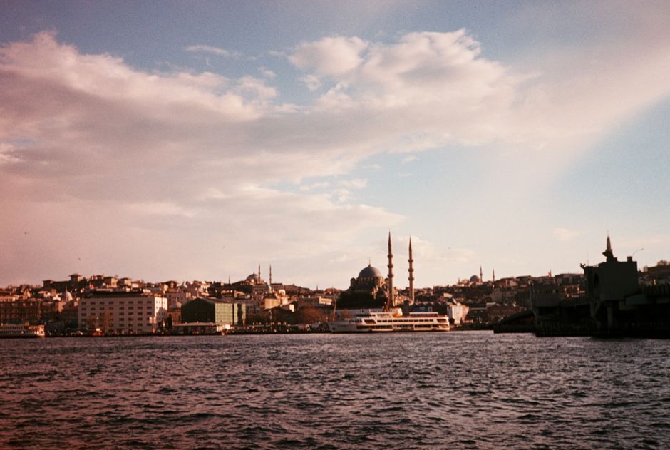
Walk down Tarihi Yarımada — the historic peninsula — and the scale of the documentation task becomes clear. Hundreds of Ottoman-era structures in Sultanahmet and Eminönü have been photographed repeatedly by different municipal departments: urban planning, tourism, the Istanbul Archaeological Museums, and KUDEB, the municipal body responsible for cultural heritage protection. When the same building appears under conflicting file names, with different metadata and condition assessments, planners working on restoration permits face a genuine evidentiary problem.
The Istanbul Metropolitan Municipality's GIS directorate — which manages geospatial and photographic data — uses a platform that, as of early 2026, held an estimated 4.2 million image files, according to publicly available budget documentation submitted to the Istanbul City Council. Of those, internal audits referenced in council minutes from March 2026 flagged roughly 18 percent as probable duplicates requiring human review. That is more than 750,000 files.
KUDEB has its own parallel system, added another layer of duplication. The two databases do not yet share a unified deduplication protocol, a gap that heritage preservation advocates in Beyoğlu and Balat have pointed to as a concrete obstacle to accurate restoration planning in fragile neighbourhoods where every structural photograph matters.
Three choices are sitting on the table, and none of them are simple.
First, the municipality must decide whether to run an automated deduplication algorithm across the archive or commission a manual review. Automation is faster and cheaper — software licences for enterprise-grade image deduplication tools run between 80,000 and 200,000 Turkish lira per annual subscription at current 2026 market rates — but critics within the council's technology committee have raised concerns that algorithmic tools may incorrectly flag images showing different structural conditions of the same building as duplicates, deleting evidence that could matter in a future earthquake liability case.
Second, there is the governance question. Right now, both the GIS directorate and KUDEB operate as separate fiefdoms. A joint oversight committee has been proposed but not yet formally established. The Istanbul City Council is expected to vote on a framework for inter-departmental data governance before the end of the third quarter of 2026.
Third, and most politically charged given the ongoing tension between the CHP-led metropolitan administration and the AKP-aligned central government, is the question of access. Some of the duplicate image files relate to structures along the Bosphorus where development permissions are contested. Determining which photograph is the legally operative record of a building's pre-development condition could have direct consequences for ongoing planning disputes between the municipality and national ministries.
For residents in Balat, Fener, and other heritage-dense districts living through ongoing restoration work, the stakes are practical. A building permit delayed because the archive cannot confirm which image reflects a structure's current state means weeks or months of construction limbo. Neighbourhood associations in both Balat and Kadıköy have submitted formal requests to the municipality asking for a public-facing status report on the archive review by September 2026.
The city council technology committee meets again on July 14. That session is likely to set the timeline — and the budget — for whatever comes next.
How does this story make you feel?
Spread the word
About this article
Published by The Daily Istanbul
Daily brief
Free, in your inbox before 7am. Weekdays.
More in News